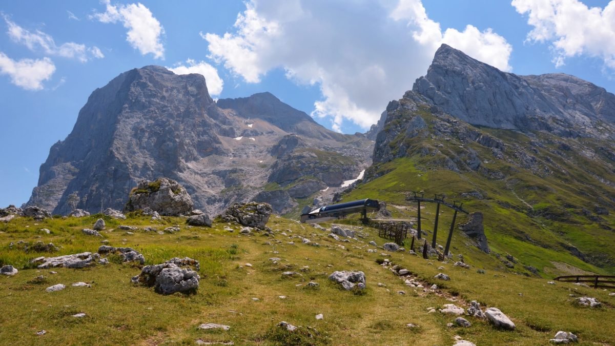
The Gran Sasso and Monti della Laga National Park is popular year-round. From spring to autumn there are hikers; winter belongs to skiers occupying Prati di Tivo. From the windows of the apartment we stayed this time in Abruzzo we could see the jewels of Gran Sasso – Corno Piccolo and Corno Grande. And the view from the highest peak in the Italian Apennines reminded me, why for the second time, I hiked Corno Grande.
Corno Grande looks funny: out of nowhere, it just sticks out several hundred meters higher than everything else around it. The spectacular green plateau and a protruding mountain seem unclimbable, but it’s just an impression.
Usually despised by experienced climbers and adrenaline lovers, the normal/standard route is a walk-up. And because I’m 57, have bad knees, and zero interest in hanging off a cliff for an adrenaline rush, climbing Corno Grande this route again was the best option. It’s pretty easy, but it still put my fitness to the test.
Jump to:
Hiking Corno Grande : Route Options & Trailheads
You can approach Corno Grande from two main directions: the popular, shorter South route from Campo Imperatore, and the longer, more panoramic North route starting near Prati di Tivo (Valico del Laghetto).
Campo Imperatore hike starts at 2,135 m; Prati di Tivo lies 670 meters lower. In this case, reaching the peak and going back takes the whole day.
Corno Grande Routes: Via Normale vs. Direttissima and Via Ferrata
The standard Via Normale is a non-technical hike.
But if you’re looking for adrenaline, the mountain also offers the Via Direttissima—a steep scrambling route through gullies and chimneys. It requires more technical scrambling and better preparation, so it’s not the best option if you only hike mountains occasionally.
The other option is Via Ferrata (e.g., Ferrata Baffile or Ferrata Danesi) with metal cables and etriers. In this case you need a harness and a via ferrata kit; in both cases you need a helmet.
Trail Logistics & Getting There
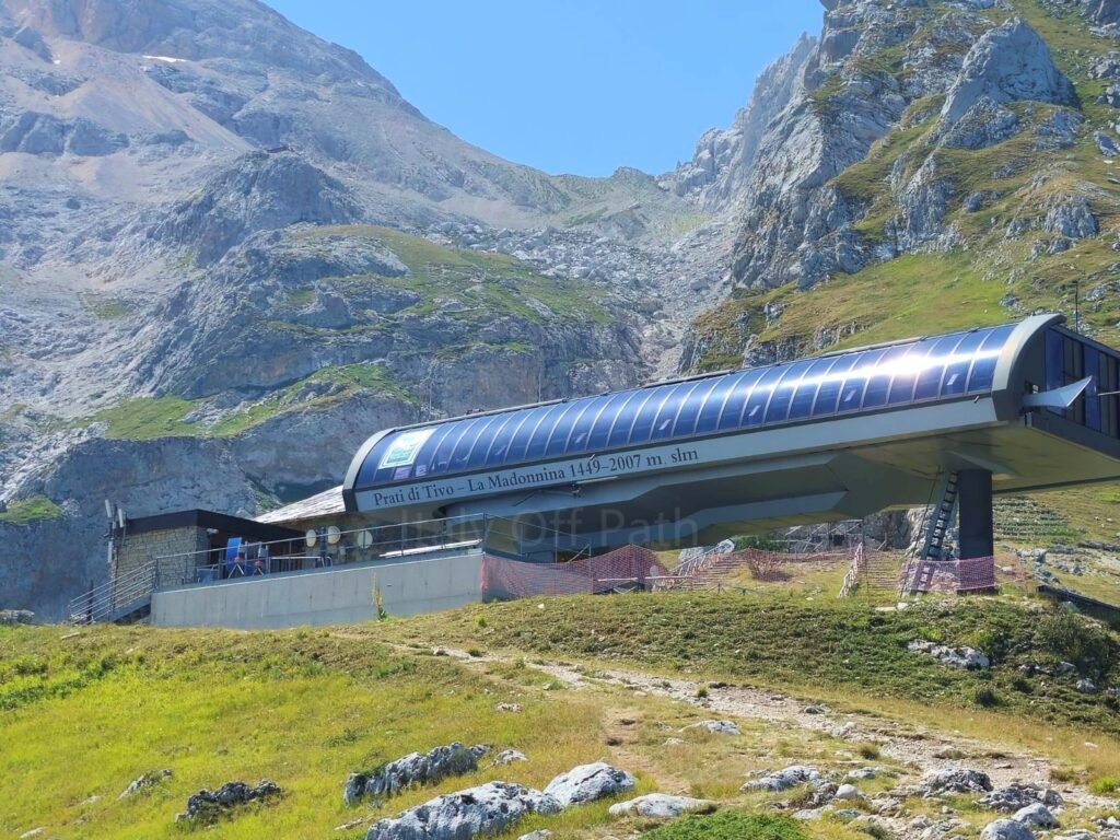
Both times I climbed Corno Grande from Prati di Tivo. Why choose something shorter when you can have something longer and sweat more? But when I’m 70, I’ll definitely do the Campo Imperatore route. Or maybe I just take the cable car (funivia) from Prati di Tivo o reach an altitude of 2007 m, and then getting Corno Grande will be just a piece of cake. But that’s the future.
Valico del Laghetto & Prati di Tivo Trailhead Parking
This time we drove to Valico del Laghetto, which is 5-6 km from Prati di Tivo, and parked just along the forest road. There’s a free parking, but it was busy. It was just before 8 AM, so even if August is still the month when the majority of Italians are on holidays, the number of cars was surprising.
Walking, we saw a big white stray dog. They are a lot of them in Gran Sasso. Some of them are sheepherds dog, the others are just poor homeless creatures. They are usually not aggressive, just lonely, always hungry and looking for friends.
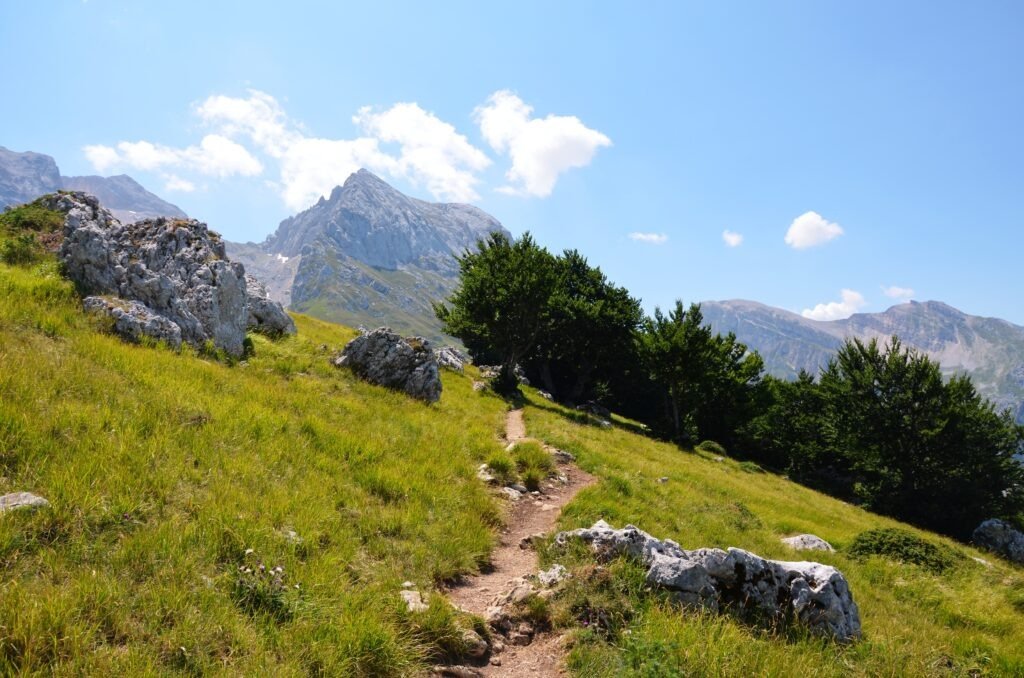
The plateau is beautiful – rising terrain overgrown with grass, and ‘finished’ with majestic mountains in the background. Besides one short part of the path running next to a wee wood, there are no trees. First time I climbed Gran Sasso in July – it was so hot that the sun made me very creative in inventing curse words.
In August’s morning, the weather was warm, but not crazy warm. Later on it was of course hotter, however still not bad, and from time to time it was pretty windy. I wore my brand new hat (I always lose them), applied a ton of sun blocker, unfolded my hiking sticks and started hiking the green plateau.
Hiking the Arapietra Ridge to La Madonnina
The first spot is the Croce di Arapietra i.e the cross standing on the hill on the left – from there the panoramic view is worth attention.
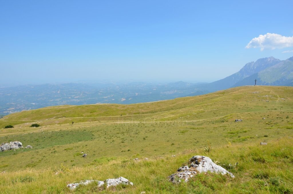
There are a few dirt paths going up from the foot of the mountains. You can choose any of them; usually everyone takes the main/most visible one. It’s a bit steep in places, but that doesn’t really bother you when climbing.
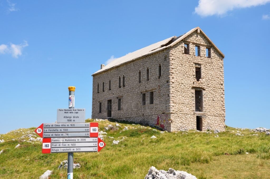
After 30-35 min, we got to a never finished building of the L’Albergo Diruto dell’Arapietra. It stands at an altitude of 1,889 m, so pretty high, and I wasn’t even out of breath yet, even if the sun was starting to get hotter. Incredible.
More or less 120 m higher and 12 min later we reached the La Madonnina cable car. La Madonnina is also a small chapel with Madonna figure which is just a few meters up. We stopped for a few minutes close to a small building which is next to the cable. If you’re looking for a short break in shade, you’ll find it there. There’s even a bench.
The Push to Rifugio Franchetti (2,433 m)
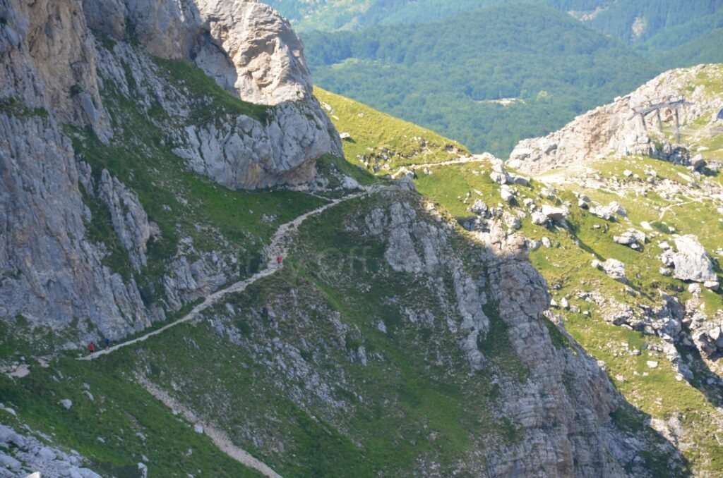
From Madonnina, the surface of the path changes – the next several meters are a wide small gravel way, partly with wooden beams supporting the stones and forming the steps. This section goes quite steeply uphill, which is more annoying (in my opinion) when you get down.
The next part of the track is gravel and basic rocks slabs. Looking at the Franchetti refuge standing far on the peak, I was thinking that to have coffee there we have to climb for more or less 430m up. Over 1 hour to an altitude of 2,433m for a coffee break and sandwiches. Crazy.
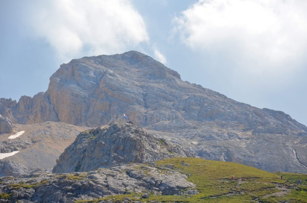
The way to the refuge is almost entirely rocky. Some parts are more difficult, but just because of my bad knees, and not because you need some special techniques. Unless you consider helping yourself with your hand and getting on all fours as special techniques. If you have no problem with knees, the way is not complicated at all.
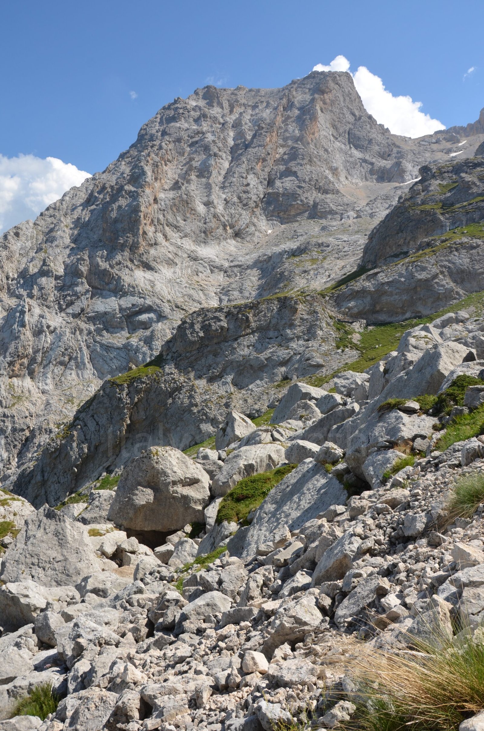
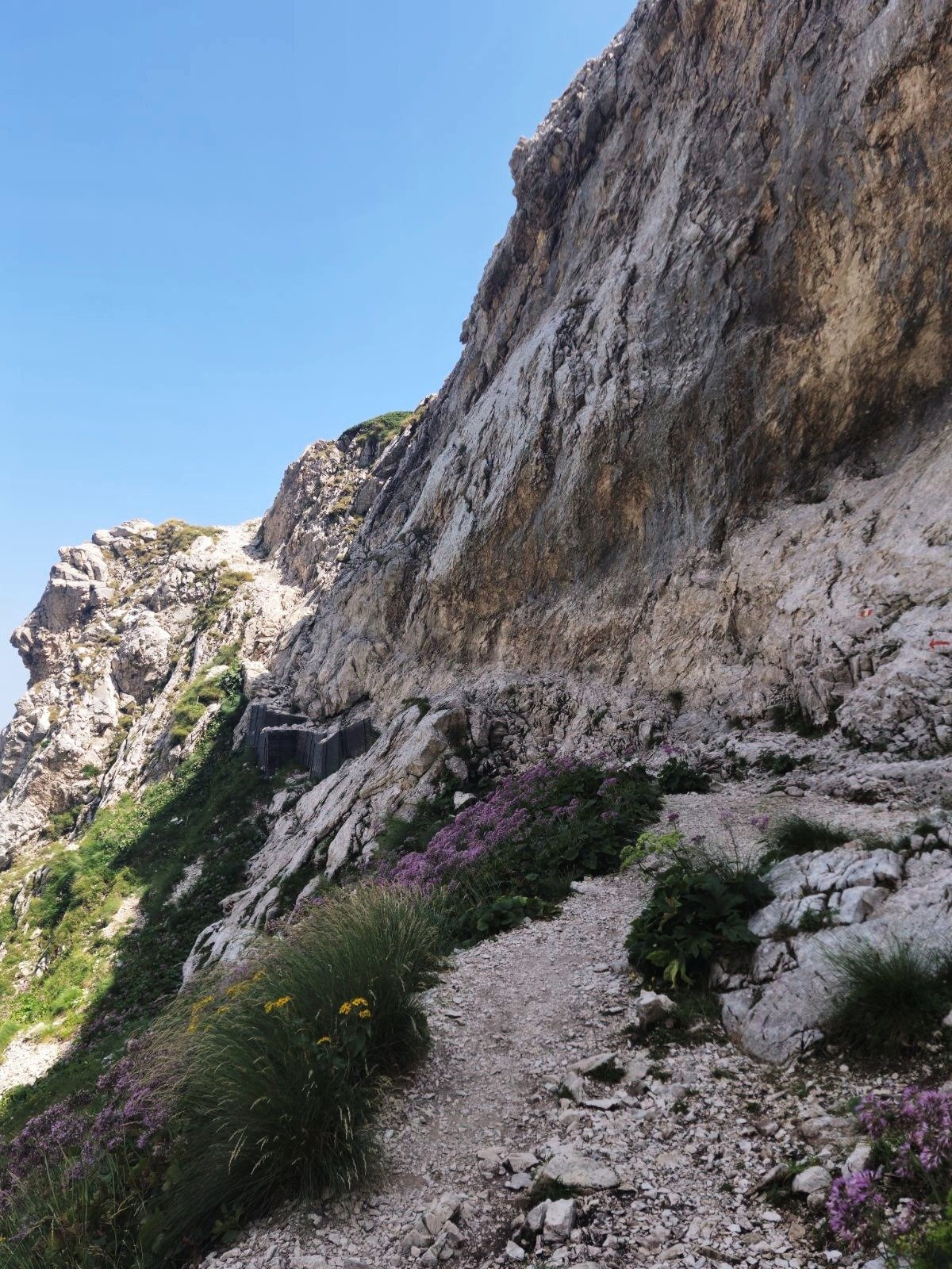
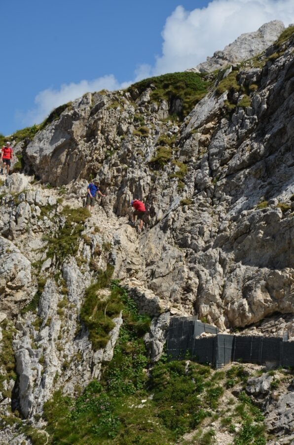
At some point there’s a part of the path with chains. There you have just hold the chain, stick to the wall, and walk for a few meters. Walking to the rifugio, I had (again) an impression that the higher I got, the shelter was moving away as if it were on wheels.
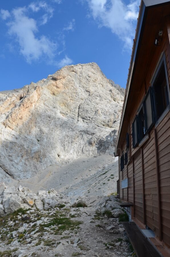
The last 100-150 m of the way to rifuggio is quite steeply uphill dirt path. This part I hated. But when we were having coffee, I forgot about it. I was sitting outside thinking that logically climbing mountains is silly: you sweat going for hours up just to get down later on. People are crazy.
Sella dei Due Corni, Passo del Cannone & Calderone Glacier Views
After coffee, sandwiches and a piece of cake we were ready to climb Corno Grande.
From Rifugio Franchetti, we followed the red-and-white markers up toward Sella dei Due Corni and through Passo del Cannone, where it is the final steep push to the summit.
On the left there’s the Calderone Glacier, or rather what lefts of it. The glacier is melting, so don’t expect anything Antarctica-like.
It takes around 1 h to get to the peak with the cross, but I was busy swearing, so it took me a bit longer.
Is Corno Grande Dangerous? What to Watch Out For
Again, the normal route is not difficult; you just have to be careful, as the last section means climbing steep scree and gravel-strewn slabs. One careless step can cause rocks to fall, and it’s not nice when a piece of rock lands on your head. Seriously, it can cause damage. Also they may be other hikers higher up, so don’t take any shortcuts if you don’t want to have them or stones falling on you. Simply follow the trail markers.
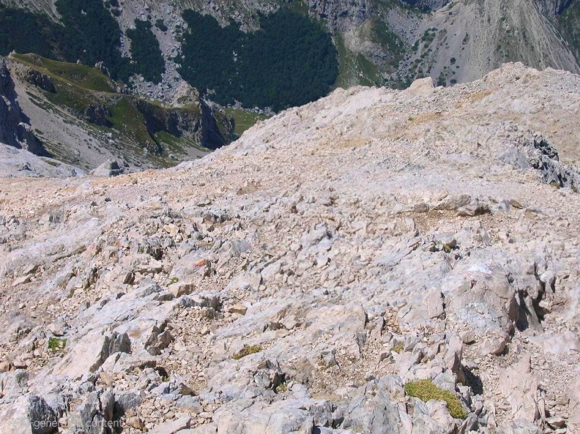
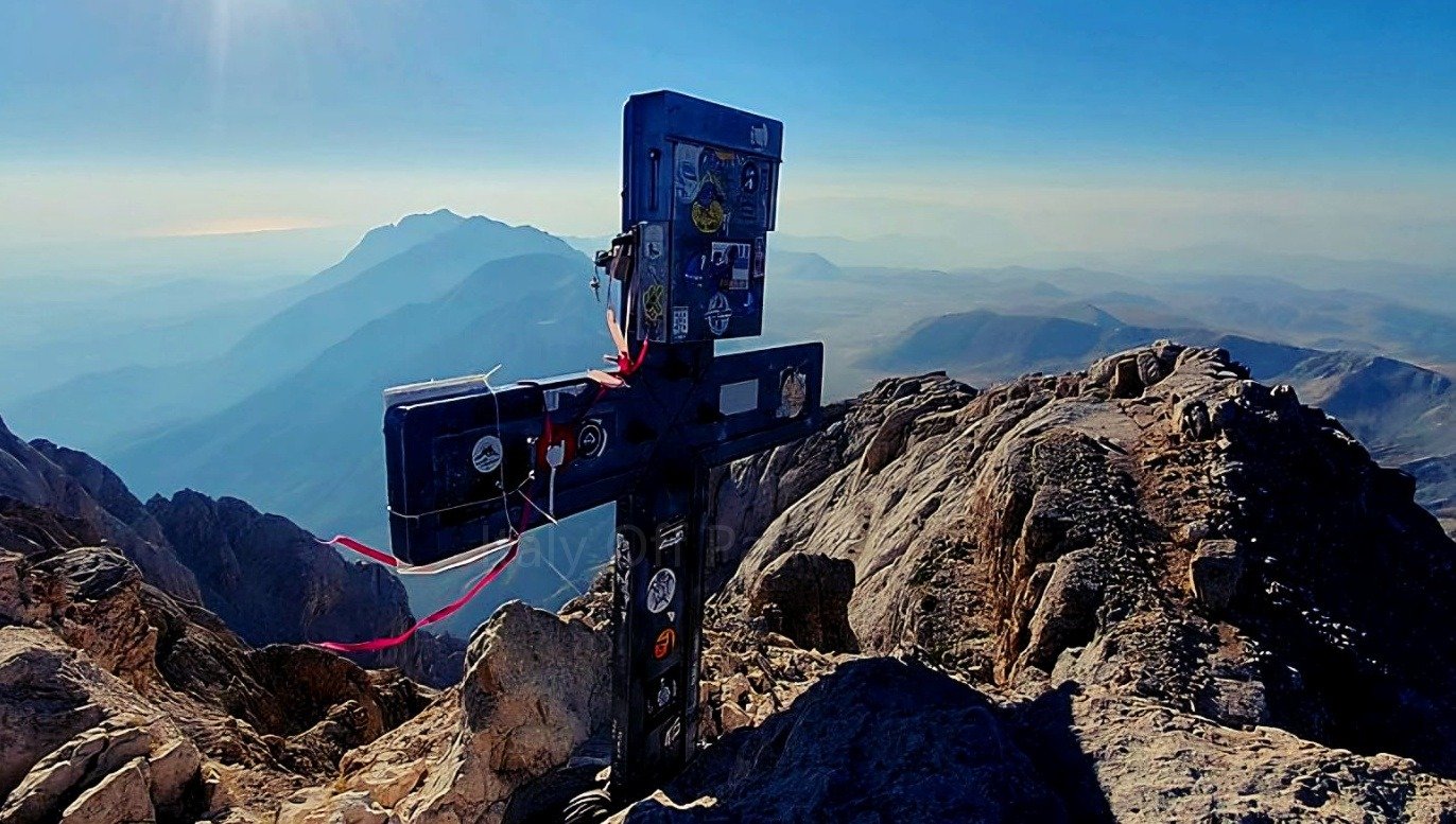
At a few points, I had (as everyone) to help myself with my hands, so it was a good idea to cut my nails a day before. And then I had an amazing view and a perspective of going down
The Descent: Dealing with Steep Scree, Loose Rocks & Bad Knees
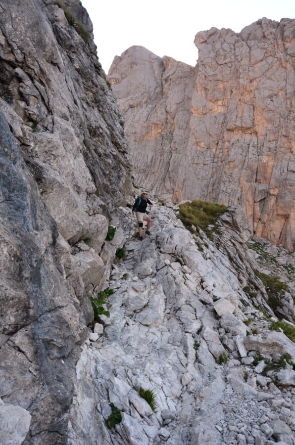
For my knees, going down is usually more demanding and takes longer than climbing. Very often I’m crawling down quite slowly because I don’t want to put too much strain on my knees, and all these people practically efortlessly jumping off the mountain are pissing me off. But whatever. The most difficult parts i.e high rocks I made, as usually on my bottom with the help of my hands or hiking poles.
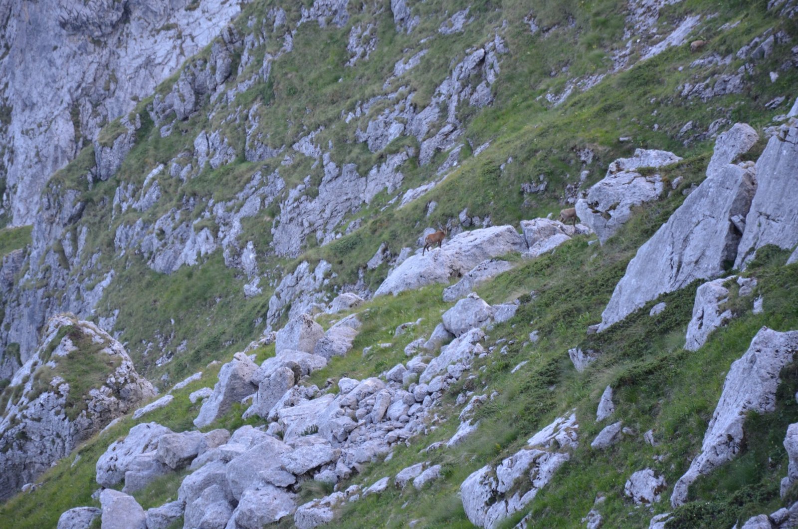
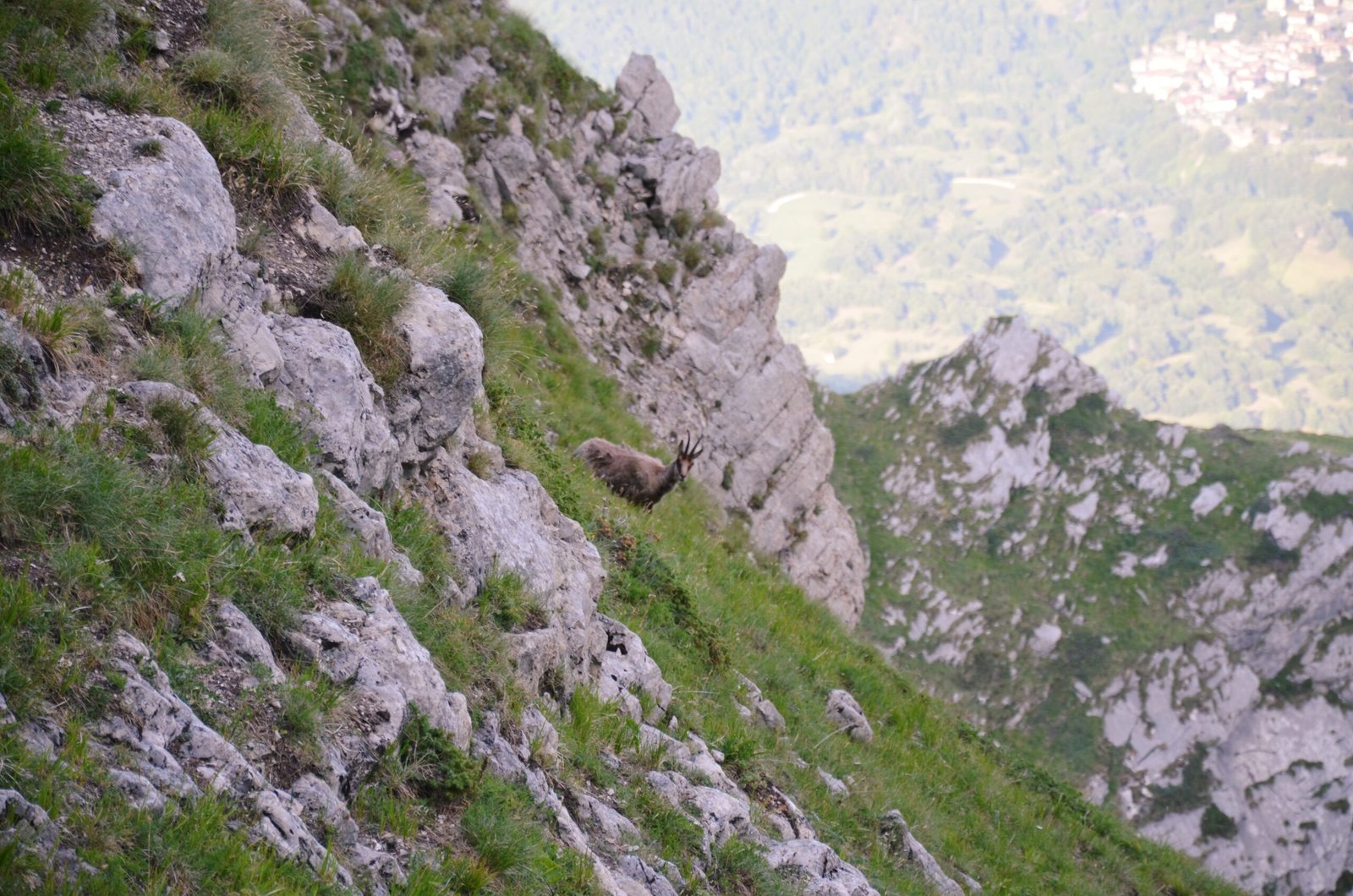
In the lower part of the track on the green slopes we spotted the Apennine chamois . Beautiful animals. But thanks to them my bear-mania has returned. They rarely visit Gran Sasso, but who knows, maybe this day all 55 or 80 (various data) decided to have a walk around it. No bears though.
This time, going down through the plateau, I stuck to the path. The previous time we were descending in a place without a very visible path. There are overgrown with grass small holes in the pleteau. By chance I stepped into one of them and broke my ankle.
Practical Mountain Tips for a normal route to Corno Grande
- The track from Campo Imperatore is shorter, starting from Prati di Tivo gives you nicer views
- Wear trekking shoes
- Take hiking poles – they are more than useful, as some parts of the track are quite steep.
- Helmet – optional, may be useful at the last part of the trail
- Take a lot of water – there’s no fountains on the track; you can buy it in the rifiugio. There’s also a fountain outside the refugio, but it can run dry in late summer.
- Take some money if you want to have coffee, lunch or something sweet in the rifuggio (cash only).
- There’s no shade on the trail, wear a hat and sun cream
- Toilet – the nearest is in the rifiugio. You might find a ‘privacy spot’ on the track, but it’s not easy as the terrain is completely open rock and low grass.
- Stick to the path.
- Afternoon Storms – In July and August, afternoons (after 1pm) on Gran Sasso tend to have rain and thunderstorms. Start hiking early, if you want to avoid weather surprises.
- Bring a windproof layer. Even if it’s hot, it might be very windy.
- There’s no mobile signal. If you need a map, have offline tracks downloaded before you leave the car.
- Toddlers / Baby Carriers – in my opinion it’s not the best idea. Even though hiking carrying a toddler to the Madonnina is OK, I wouldn’t continue further up with a small baby.
- Older Kids (around 10+) can do the track, of course if they have mountain experience and under parents’ supervision. There were a few teens walking up on the trail.
- Leave your dog at home. Check local park regulations—dogs are banned on high-altitude core trails.
- Don’t be surprised if there are many people waiting to reach the paek, Corno Grande is getting very popular
- After hiking at the very bottom close to the parking you can rest under trees in the Beech Woods. Bring insect spray—the tall grass and lower woods are full of ticks (zecche).